A one-stop-shop for the latest updates in urban resilience


Supporting sustainable urbanisation by building resilience with local governments
Supporting sustainable urbanisation by building resilience with local governments
Resilient perspectives, ideas and solutions
Resilient cities, initiatives, knowledge and workshops

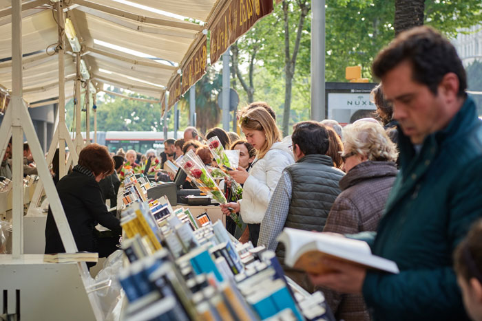
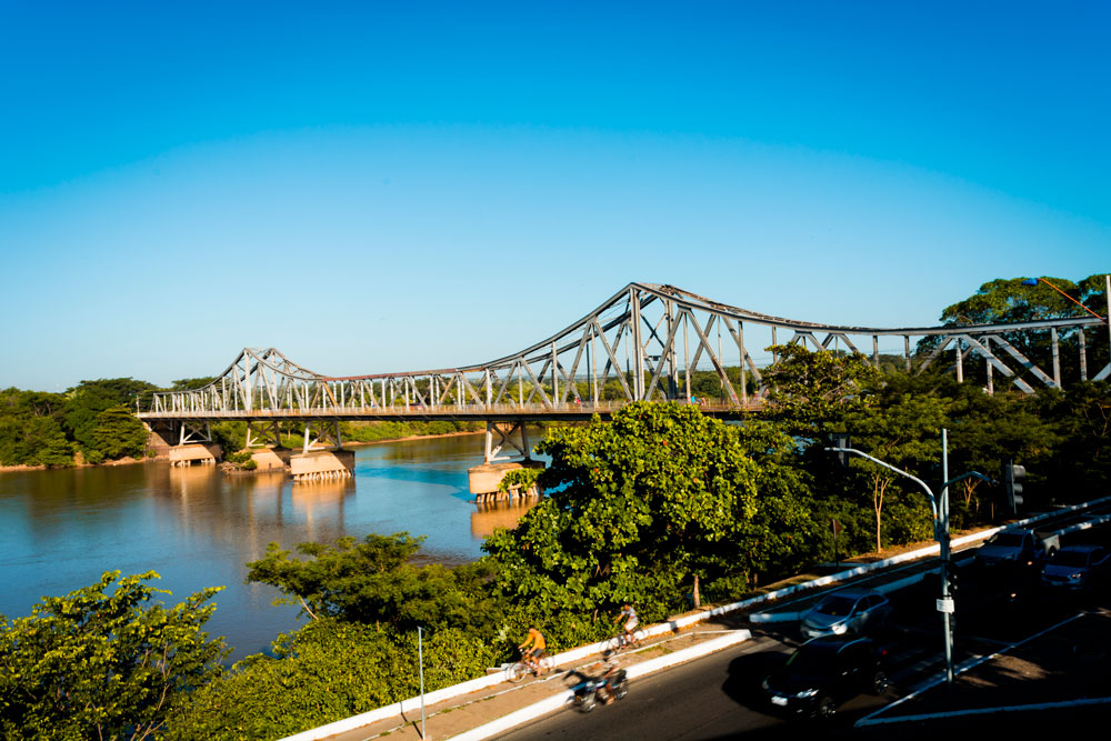
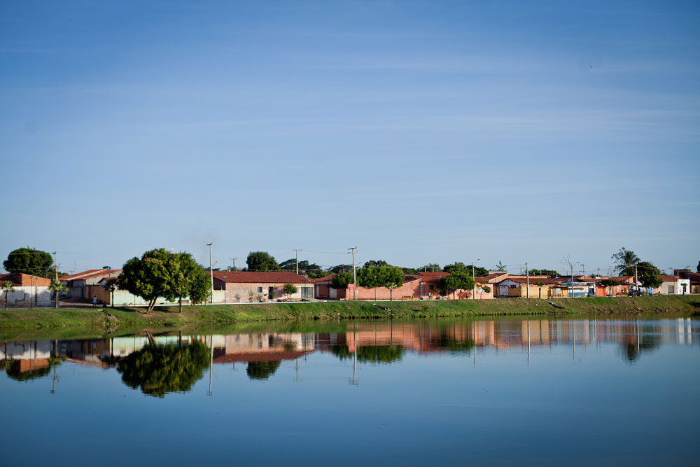
Urban resilience is the starting point for a sustainable world. We contribute to an inclusive, safe, resilient, and sustainable urban future, and change the paradigm of urbanization, by increasing the resilience of our cities.
We are UN-Habitat’s technical partners for urban resilience; we help cities increase their resilience by diagnosing the state of their urban system, driving actions, sharing and building knowledge and advocating on a global scale.
#SDG11 #NewUrbanAgenda